Direct Bus from Almaty to Karakol via Kegen and Karkara (2025/2026 Update)
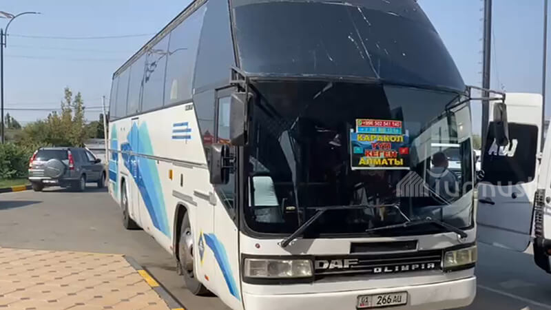
As a local driver, I often provide transfers from Almaty to Karakol and back. It is a really long journey and quite costly. That is why I created this guide for independent travelers with tight budgets on how to get to Karakol from Almaty by bus, taking the most scenic direct route through Kegen (Karkara) […]